bavarian forest national park, frauenau
| terrain model | |
| software | |
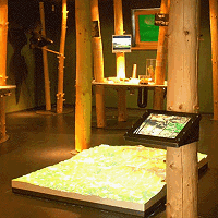
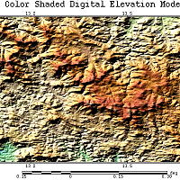
For the manufacture of the relief body, a very exact Digital Elevation Model (DEM) with a 25 m grid was available, that was captured using the latest laser-scan flyover of the region. Through this, the morphologic features of the highlands could be milled with even greater accuracy than with the usual data with a 50 m grid. The whole installation fits harmoniously in the information room of the national park. The model was purposely placed close to the floor, making it more visible for larger groups, and the entire model surface can be viewed more or less from a satellite perspective. The viewing height is proportional to a vertical distance of some 40 km.
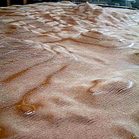
Raw untreated relief body
Above: Complete Installation
Below: Digital display of DEM