cistercian monastery maulbronn
| Terrain model | |
| Map processing | |
| Software | |
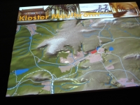
The high resolution digital elevation model provided by the Land Survey Office comprised in the original format an area of approximately 8 x 4.3 km, and thus covered the wider region around the monasterial complex. Above all, the hydrological conditions, both natural (water) and the artificial (ditches, canals), are therefore within the cutout area.
Given the century-old historic topic, both interesting and problematic was the shape of strong surface features, such as road and railway cuttings or quarries and embankments which all are of much younger origin. However, these were ultimately considered rather welcome evidence of an old cultural landscape with traces of civilization up to the present day. They were organically incorporated into the central story.
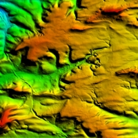
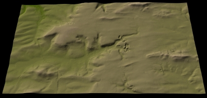
Digital 3D-view of the optimized terrain model
above
right: clipping of digital 3D model
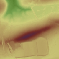
Data resolution of 1m-grid
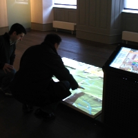
Final setup of installation
Oblique view of model with head-on projektion