cistercian monastery maulbronn
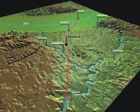
| Terrain model | |
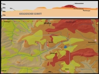
| Map processing | |
| Software | |
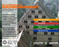
The interactive visualization of a wide thematic range starting with the founding of the monastery until the decline of the traditional economy of the Cistercian monks opened a field for a variety for attractive multimedial solutions. The topographic relief model as a geographical reference is here once more stage and information carrier at the same time.
With the integration of a variety of graphic animations and digital movies projected directly onto the model's surface, the viewer's attention is even more focused on the relief model. A dedicated flat projection area on one side of the model developed here particular special effects.
Photo right © Bastian Gläßer
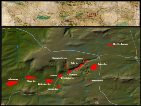
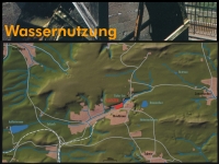
above: Projection artificial lakes and fish farming
right: various screen and projection views