cistercian monastery maulbronn
| Terrain model | |
| Map processing | |
| Software | |
On behalf of the State of Baden-Wuerttemberg, the existing museum of the UNESCO World Heritage Cistercian monastery Maulbronn has been extended by an interactive terrain model.
The thematic focus of this installation is the historical water managment of the monks and the needed facilities, especially in the vicinity of the monastery. For the first time the enormous wealth of historical information about this topic was prepared in collaboration with professional scientists at the National Monuments Office and made available to the public in an interactive format.
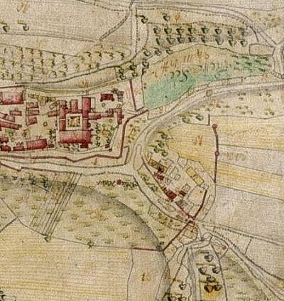
Detail of the historical monestary map from Spaeth, 1761
Cistercian
Monastery
Maulbronn
Extension Monastery Museum
Opened April 2007